The rustic and calm town of Chapada dos Guimarães, 65 Km from Cuiabá, is located on the geodetic center of South America on the savanna of the Brazilian central plateau, was founded more then 200 years ago presenting ancient buildings, marked by time. The population is presently of 16,000 inhabitants.
On the end of the seventies, alternate communities moved themselves to Chapada, since then considered an important reference point to the esoteric for its location in the center of the continent, equidistant from Atlantic and Pacific Oceans. In this time conservationist movements were intensified, culminating with the creation of the national park of Chapada dos Guimarães, in 1989.
Chapada dos Guimarães was once believed to be a meeting point for flying saucers. Nothing has been scientifically proved, but if extra-terrestrials indeed exist, Chapada dos Guimarães would surely be one of their first destinations. Walking through this landscape is an indescribable experience and all those who have been there state that Chapada dos Guimarães is a compulsory experience for all . Situated in the state of Mato Grosso, 65km from Cuiaba (capital of the state), it is also the geographical center of South America.
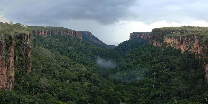
In the transition between the cerrado and the Amazon rainforest, the Guimarães plateau acts as the dividing line between the Paraguay and Amazon river basins, forming an ecosystem of great ecological interest and fascinating geological formations. The cerrado is one of the South American lowland endemic centers for birds.
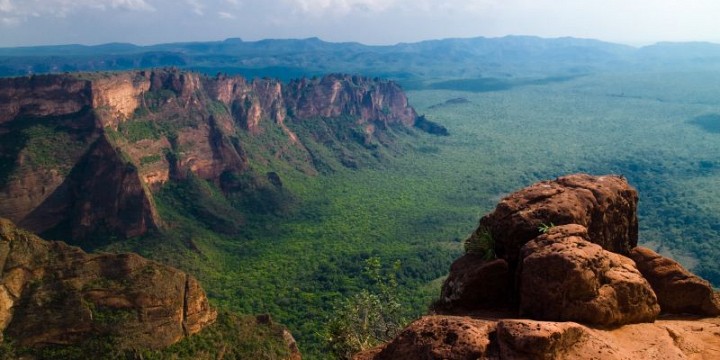
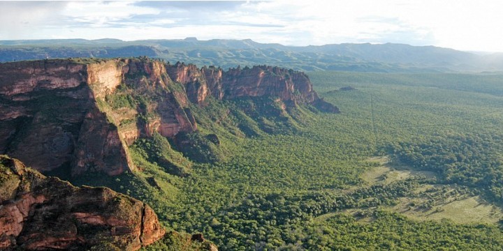
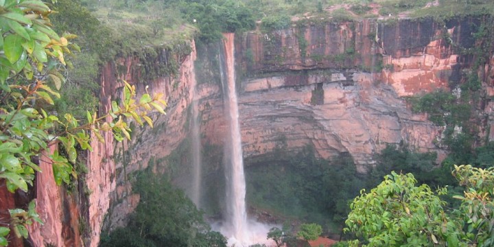
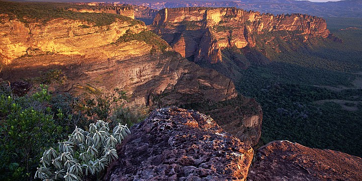
Chapada dos Guimaraes National Park is considered a mystical region, with terrain reminiscent of the southwestern United States, it has waterfalls and rock formations, forests and pastures. The National Park has a rocky plateau that is 2,400 feet higher than the lowland The Pantanal.
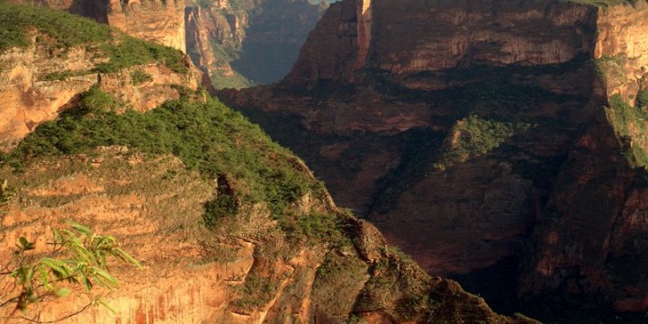
The region is located over one the older tectonic failures of the continent. About 500 millions of years ago it was covered by ice, 200 millions of years later it was the bottom of a sea and it is still possible to find marine fossil on top of some rocks. With the rise of the Andes, the plateau was elevated and the neighbor area of the Pantanal moved down. Presently, orange-red sandstone cliffs with canyons and caves can be seen. The erosion caused by rain and wind during millions of years originated natural sculptures. Small rivers carved the sandstone cliffs forming enormous waterfalls. This all formed the characteristic scenery of Chapada. The region is the origin of the rivers Aricazinho, Coxipó and Mutuca, tributaries to the Cuiabá River, consequently feeding the waters of the Pantanal.

